
VivePatagonia

Travel guidePorvenir

Chile’s gateway to Tierra del FuegoProvincia de Tierra del Fuego · Región de Magallanes y de la Antártica Chilena
Population
6,801
Founded
1894
Elevation
5 m

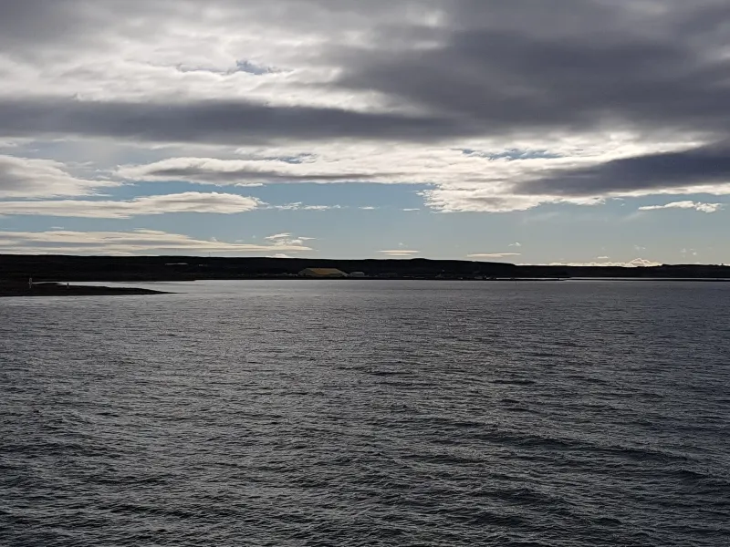
Porvenir lies across the strait, on the main island of Tierra del Fuego, and getting there means crossing two hours of open water.

The island had its gold rush in the 1880s, but the town was founded in 1894 as a service center for the sheep estancias (ranches), and it was settled by Dalmatian immigrants, then subjects of the Austro-Hungarian Empire, and by people from Chiloé.

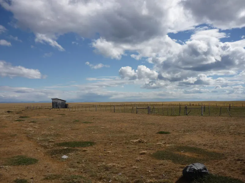
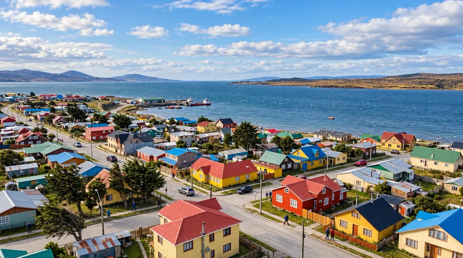
It is a place of few houses and a lot of horizon: Bahía Chilota, the painted tin-clad houses facing the water and, beyond them, a steppe where guanacos outnumber people. Anyone looking for bustle doesn’t come here; anyone looking for silence won’t find a better place.

01

What to see and do

5 handpicked spots in and around Porvenir, with the distance from the center and how long to set aside for each.

Parque Pingüino Rey, the king penguin reserveWildlife

Parque Pingüino Rey

The only king penguin colony in Chile, on Bahía Inútil.

A private conservation reserve on the San Clemente estancia (ranch), where a small colony of king penguins, the second-largest penguin species in the world, has settled since 2010. Visitors watch them from platforms about thirty meters away, with set visiting times and limited spots so the birds are not disturbed. It lies just over a hundred kilometers from Porvenir on a gravel road.

105 km awayFull day from PorvenirOfficial site

Season: October to May; closed in winter

Thomas Fuhrmann · CC BY-SA 4.0
Fernando Cordero Rusque Municipal MuseumCulture

Museo Municipal Fernando Cordero Rusque

The Selk’nam, the gold rush, sheep ranching and the town’s founding, in the local museum.

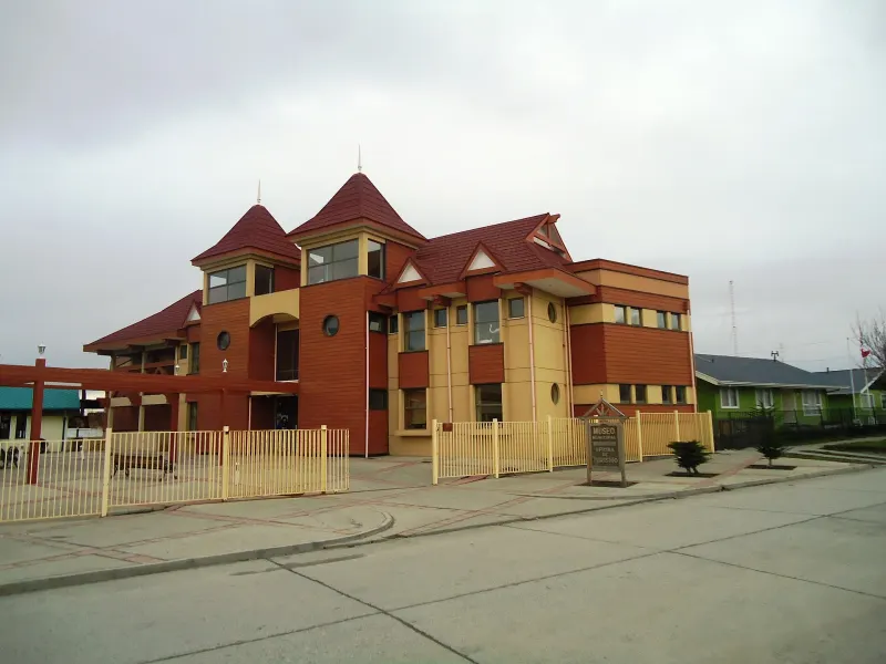
The town museum, opened in 1980, has rooms on the Selk’nam who lived on the island for millennia, the gold of the Cordón Baquedano, sheep ranching and the founding of the town. Its collection began with pieces donated by the residents themselves.

In town1 hour

Season: Year-round

Benjaminpvera · CC BY-SA 4.0
Laguna de los Cisnes Natural MonumentWildlife

Laguna de los Cisnes Natural Monument

A saline lagoon on the outskirts of town with black-necked swans and flamingos.

Six kilometers north of Porvenir, the monument protects the lagoon’s islets, about 25 hectares. It is a saltwater lagoon with microbialites, structures built by communities of microorganisms, and waterbirds such as the black-necked swan, the coscoroba swan and the Chilean flamingo.

6 km away1 to 2 hours

Season: Year-round

Natalia Reyes Escobar · CC BY-SA 4.0
The Fuegian steppe along the Gold Route, in Tierra del FuegoHistory

Gold Route and Cordón Baquedano

The remains of the 1880s gold rush, scattered across the Fuegian steppe.

A signposted circuit through the Cordón Baquedano shows where Dalmatian prospectors panned for gold: washing mounds, water wheels, sod houses and the graves of those who never made it home. It is driven by car with stops along the way and, if you keep following the road, ends at the estancias (ranches) of the interior.

30 km awayHalf day

Season: October to April

Maidavillarroel · CC BY-SA 3.0
Bahía Chilota and the waterfrontViewpoints

Bahía Chilota and the Costanera

The port where the ferry docks and the row of tin houses facing the strait.

Porvenir’s Costanera is a string of zinc-clad houses painted in bold colors, a deliberate contrast with the steppe. At Bahía Chilota, five kilometers to the west, the ferry docks, and Peale’s dolphins are often seen from the pier.

5 km away1 hour

Season: Year-round

Aeveraal · CC BY-SA 4.0

02

Where everything is

The town in green, the sights in orange. The zoom fits the farthest one on the list.

Loading map…

03

The weather, month by month

Cold, dry steppe, with a wind that never stops. Summer highs are around 16 °C and winter highs around 5 °C, with frequent frosts from May to September. The sky changes fast, but the rain doesn’t last: the problem here is never the water, it’s the wind.

Average highAverage lowRainfall
358 mm a year
J
F
M
A
M
J
J
A
S
O
N
D
Average temperatures and monthly rainfall
MonthJFMAMJJASOND
High15.6°15.6°13.3°10.3°7.6°5.1°4.7°6.5°9°11.5°13.5°14.9°
Low7.1°6.8°5.2°3°1.4°-0.4°-0.9°0.2°0.9°2.9°4.7°6.3°
Rainfall (mm)412939403527312313243026

Temperature: 2016-2025 average. Precipitation: average of the 11 complete years between 2000 and 2025. Climate yearbooks of the Chilean Meteorological Service (Dirección Meteorológica de Chile), Fuentes Martínez station; there is no official climate normal.

04

Getting to Porvenir

By ferry

from Punta Arenas

The ferry crosses the strait between the Tres Puentes terminal, north of Punta Arenas, and Bahía Chilota, five kilometers from Porvenir. It is the natural way in, and dolphins are often seen during the crossing. Schedules change with the season and sea conditions: confirm them the same day, and arrive early if you are bringing a vehicle.

About 2 h 20 minAlmost daily, with fewer departures in winterTransbordadora Austral Broom

By plane

from Punta Arenas

Light-aircraft flights that cross the strait in just over ten minutes. Seats are very limited and subject to the wind, but it is the alternative when the ferry is not sailing.

12 minutesSeveral flights a weekAerovías DAP

By car

from Primera Angostura and Cerro Sombrero

The other way into Tierra del Fuego is the Primera Angostura crossing, to the north, where the strait narrows and the ferry ride takes twenty minutes. From there it is about 150 kilometers to Porvenir, much of it on gravel.

20 min crossing plus 3 h by roadContinuous crossings during the dayTransbordadora Austral Broom

Getting around once you are there

You can walk the town in half an hour. Everything else is far away and on gravel: Parque Pingüino Rey (King Penguin Park) is more than a hundred kilometers away, and the road to Onaisín and Cerro Sombrero is unpaved. Without your own car or a booked tour, there is no getting around Tierra del Fuego.

05

Before you set off

What locals take for granted and visitors find out too late.

Gravel roads and a spare tire

Outside town, almost every road is unpaved. Slow down, make sure your spare tire is in good shape and let someone know where you’re going.

Fuel up before you leave

In Tierra del Fuego, gas stations are few and keep limited hours. Fill up in Porvenir or Cerro Sombrero and don’t count on finding service along the way.

The ferry sets the itinerary

The crossing is suspended in strong winds. It’s best not to book your return flight from Punta Arenas for the same day you cross back.

Penguins are watched from a distance

Parque Pingüino Rey (King Penguin Park) has limited visiting hours and a mandatory minimum distance. You don’t enter the colony or fly drones: it is a small, protected colony.

Last reviewed

The directory

Where to eat and stay in Porvenir

29 restaurants, cafés and places to stay on the portal, with opening hours, menus and locations.