Trip plannerHow many days, which way, and what it costs
Chilean Patagonia is long, and it is cut in half: between Aysén and Magallanes there is no road that doesn't cross into Argentina or board a two-day ferry. Here are the itineraries that do work, and the tools to build your own.
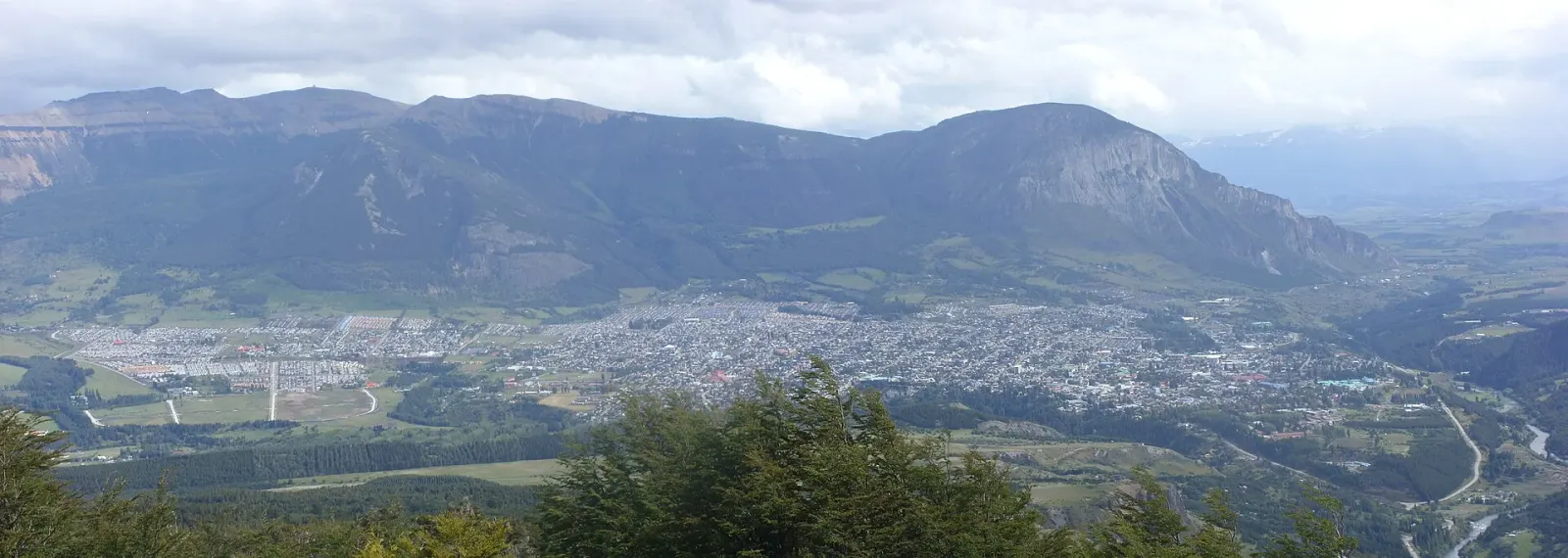
Arrive on Friday, head up to Cerro Castillo on Saturday and come back down along the Río Simpson on Sunday. All based out of a single hotel, with no repacking.
relaxed pace1 cityYear-round; in winter, with warmer clothes and fewer hours of daylight
Coyhaique, Cerro Castillo, the drive down to Puerto Aysén and the boat trip to the San Rafael Glacier, the northernmost point where an ice field reaches the sea.
balanced pace2 citiesNovember to March for the boat trip; the rest works year-round
The long trip: the Carretera Austral, the border crossing into Argentina at Coyhaique Alto, Route 40 heading south and the entry into Magallanes at Cerro Castillo, with Torres del Paine before the end.
intense pace4 citiesNovember to March; outside that window the passes close for snow
Pick the towns in the order you want to travel them and how many nights you stay in each. The kilometers and hours follow real roads, not straight lines: there is no Chilean highway between Aysén and Magallanes, and the planner knows it.
Start by choosing where you arrive in Patagonia.
2. What it might cost
Reference figures per person per day, to help you decide. Not a quote.
How you travel
How many of you
2 people
Simple hotel or cabin, lunch out, the odd tour and a shared rental car.
Pick at least one town above and the estimate appears.
3. What to pack
Whatever you tick is saved in this browser, so you can come back to the list while you pack.
When you travel
Paperwork
Clothing
Gear
Health
Tech
If you're driving
Distances between towns
Road and timetable kilometers and hours, not straight lines. Every leg works in both directions; where there is no direct one, the route builder chains the ones you need.
Leg
How
Distance
Time
Coyhaique – Puerto Aysén
By car
66 km
1h
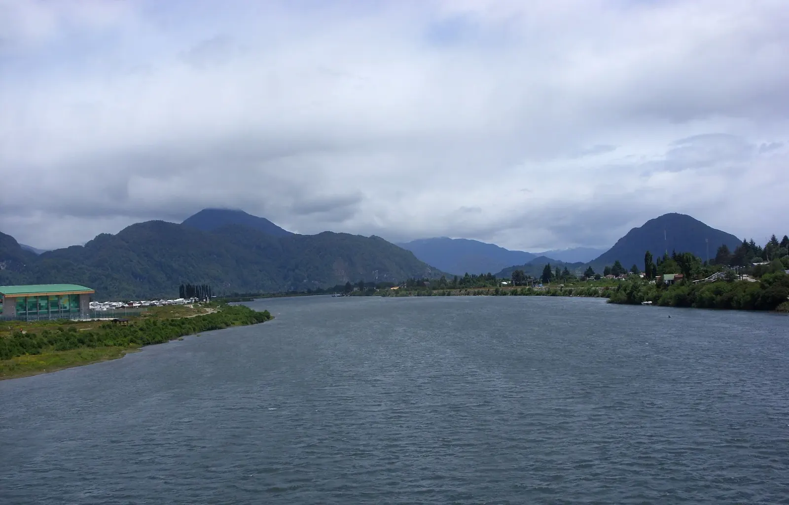
Route 240, fully paved, follows the Simpson River through the hills. It's the busiest road in Aysén: besides driving yourself, there are buses throughout the day.
Coyhaique – Punta Arenas
By car
1,376 km
20h
Through Argentina, because no road links the two regions inside Chile: you leave through the Coyhaique Alto pass, head south on Ruta 40 to Río Gallegos and cross back into Chile at Monte Aymond. The twenty hours are time behind the wheel; with stops and border crossings, it really takes two or three days. A rental car needs a notarized permit to leave the country and Argentine insurance, both arranged in advance.
Coyhaique – Punta Arenas
By plane
—
5h
Flights leave from Balmaceda, 55 km (34 miles) from Coyhaique, almost always with a connection in Puerto Montt or Santiago: the nonstop flight comes and goes with the season. The five hours are door to door, including the layover and the ride to the airport.
Coyhaique – Puerto Natales
By ferry
570 km
2d 12h
The inland route, without setting foot in Argentina. TABSA's ferry links Puerto Natales with Puerto Yungay in about 41 hours of sailing through the fjords, with stops at Puerto Edén and Caleta Tortel; from Puerto Yungay it's another 570 km (355 miles) of Carretera Austral to Coyhaique. It sails once a week in season, you need to book well ahead, and there's little room for vehicles. Check the operator's timetable
Punta Arenas – Puerto Natales
By bus
247 km
3h
Route 9, paved end to end. Several companies run buses from the Punta Arenas terminal throughout the day, and it's the easiest trip in all of Chilean Patagonia.
Punta Arenas – Puerto Natales
By car
247 km
3h
The same Route 9. In winter, snow and crosswinds make the drive longer: it's best to set out in daylight.
Punta Arenas – Porvenir
By ferry
35 km
2h 12m
The crossing of the Strait of Magellan, between the Tres Puentes terminal and Bahía Chilota, ten minutes from Porvenir. Just over two hours, with several sailings a day and always at the mercy of the wind: a cancellation due to a storm is part of the plan, not a surprise. Check the operator's timetable
Punta Arenas – Porvenir
By car
320 km
6h
Overland, going around the Strait: about 170 km (105 miles) to Punta Delgada, the short Primera Angostura ferry (half an hour) and another 150 km (95 miles), much of it gravel, to Porvenir. It's the way to go when the direct crossing is full or canceled.
Punta Arenas – Puerto Williams
By plane
—
1h 12m
A small plane over the Cordillera Darwin, just over an hour, operated by Aerovías DAP. Seats are few and the wind has the final say: leave a buffer day on either side of the flight.
Punta Arenas – Puerto Williams
By ferry
—
1d 8h
TABSA's Yaghan ferry through the channels, about 32 hours. It sails once a week each way and is a highlight of the trip in itself: you pass glaciers that can't be seen from any road. Check the operator's timetable
What a day costs
Reference figures per person per day —where to sleep, eating, getting around town and an activity or two— depending on how you travel. Travel between towns is not included.
Town
Backpacker
Mid-range
Comfortable
Coyhaique
CLP 40,000
CLP 119,000
CLP 265,000
Porvenir
CLP 34,000
CLP 92,000
CLP 200,000
Puerto Aysén
CLP 33,000
CLP 107,000
CLP 250,000
Puerto Natales
CLP 56,000
CLP 162,000
CLP 365,000
Puerto Williams
CLP 54,000
CLP 137,000
CLP 292,000
Punta Arenas
CLP 45,000
CLP 130,000
CLP 293,000
How a typical day breaks down
On what
Backpacker
Mid-range
Comfortable
Where to sleep
CLP 18,000
CLP 55,000
CLP 130,000
Eating
CLP 12,000
CLP 28,000
CLP 55,000
Getting around
CLP 4,000
CLP 12,000
CLP 30,000
Things to do
CLP 6,000
CLP 25,000
CLP 60,000
Backpacker: Hostel dorm, cooking your own meals, buses and unguided hikes.
Mid-range: Simple hotel or cabin, lunch out, the odd tour and a shared rental car.
Comfortable: Good hotel, restaurants, guided tours and a car of your own.
Puerto Aysén: The boat trip to Laguna San Rafael is by far the most expensive activity in Aysén, and one you only do once.
Puerto Natales: The Torres del Paine entrance fee and transportation from Natales make up most of this figure.
Puerto Williams: Everything arrives by boat or small plane, and it shows in the bill.
Travel between towns is not included. A ferry, a light plane or a tank of fuel depend on the date and the operator, and putting a number here would mean inventing one. The link on each leg takes you to whoever does know. Figures last checked in .
 3 days