VivePatagonia

6 daysTierra del Fuego and the end of the world

Six days to cross the strait and get farther south than almost anyone
Length
6 days
Distance
290 km
Behind the wheel
12 h
Pace
Balanced

When: October to May, when the king penguin park is open; in winter the rest is possible, with less daylight

How hard: Moderate: short hikes and a lot of time in transit

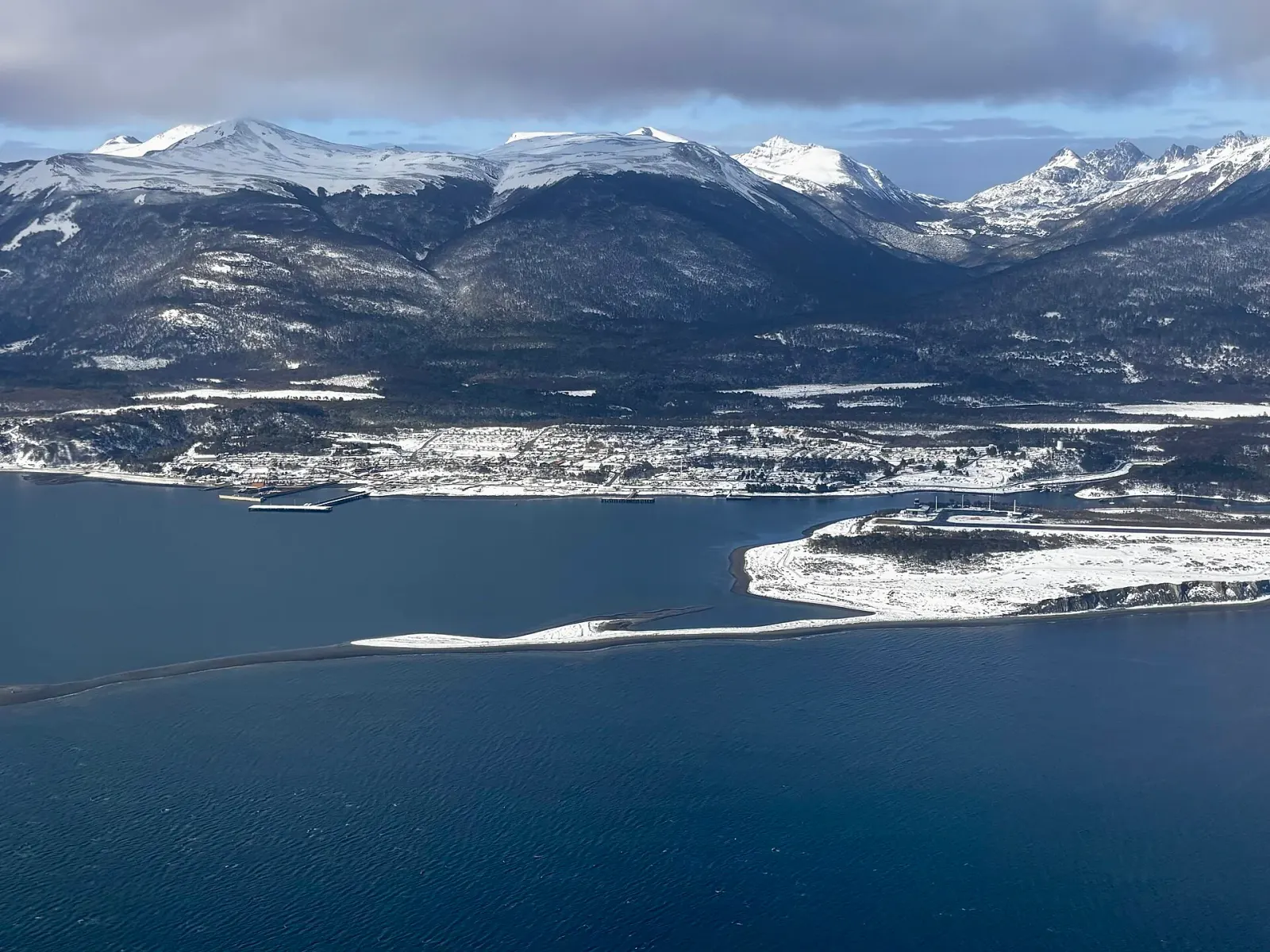
This route goes to the two cities on the portal that almost nobody visits, and that's exactly the reason to do it. Porvenir is reached by ferry from Punta Arenas; Puerto Williams, by small plane or on a 32-hour ferry through the channels.

It's the most weather-sensitive itinerary of them all: the crossing to Porvenir gets canceled in high winds, and the small plane to Puerto Williams has few seats. Leave slack on both ends and don't chain together tight flight connections.

Day by day

  1. 1

    Punta Arenas

    Punta ArenasNight in Punta Arenas

    Arrive, walk around Plaza Muñoz Gamero and Cerro de la Cruz, and confirm tomorrow's crossing: the ferry to Porvenir leaves from Tres Puentes, and the schedule changes with the wind.

  2. 2

    Crossing the strait

    Porvenir35 km · 2.2hNight in Porvenir

    A little over two hours on the water between Tres Puentes and Bahía Chilota, with Peale's dolphins if you're lucky. Bahía Chilota is ten minutes from Porvenir.

    The afternoon leaves time for the Museo Municipal Fernando Cordero Rusque, which tells the story of the gold rush and of the Selk'nam people without embellishment, and for Laguna de los Cisnes Natural Monument, 6 km away, home to black-necked swans and flamingos.

    Porvenir is small and has few beds: book ahead.

  3. 3

    King penguins and the gold route

    Porvenir220 km · 5hNight in Porvenir

    Parque Pingüino Rey (King Penguin Park) on Bahía Inútil is 105 km from Porvenir and is the only king penguin colony in Chile. You watch from blinds, at a distance, and that distance is part of why the colony is still there.

    On the way back you pass the Cordón Baquedano and the Ruta del Oro (Gold Route), where the dredges and camps of late-19th-century prospectors still stand. The road is gravel and long: set out early.

  4. 4

    Back, then fly south

    Punta Arenas35 km · 3.4hNight in Puerto Williams

    The morning ferry back to Punta Arenas and then, with the day already under way, the small plane to Puerto Williams: a little over an hour over the Cordillera Darwin, with glaciers below, and probably the most beautiful flight in Chile.

    This is the day to plan with slack. If the crossing is canceled or the plane doesn't fly, everything else shifts.

  5. 5

    Puerto Williams, on the Beagle Channel

    Puerto WilliamsNight in Puerto Williams

    The Museo Territorial Yagán Usi, called the Martin Gusinde museum until 2024, is reason enough to come even if you don't hike at all: it tells more than six thousand years of history of the Yagán people, who navigated these channels, and it does so with the living community right next door rather than as a display-case exhibit.

    A kilometer away is Villa Ukika, where part of that community lives, and in the harbor the Club de Yates Micalvi, a former Navy transport ship built in 1925 that now houses the yacht club, a meeting place for sailors before they continue on toward Cape Horn.

    In the afternoon, Cerro Bandera: three to four hours round trip, climbing through lenga beech forest to the Chilean flag, with views over the town and the Beagle Channel.

  6. 6

    Omora and the trip home

    Parque Etnobotánico Omora (Omora Ethnobotanical Park) is about 4 km away, inside the Cape Horn Biosphere Reserve, and the guided visit must be booked in advance: the idea is to look at the mosses through a magnifying glass, which is what has made this place famous among botanists around the world.

    Flight back to Punta Arenas. Those with days to spare trade the small plane for the Yaghan ferry and take 32 hours to return through the channels.

Last reviewed

Want to change it?

The route builder lets you add or drop cities, see how long each leg really takes, and estimate the budget for however many days you end up with.

Build my own route