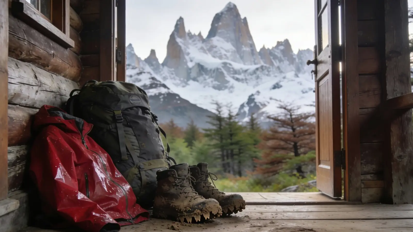
First things first: the mental map
The two regions covered by this portal are not linked by any Chilean road. Between Aysén and Magallanes lie ice fields, fjords and not a single bridge. You get from one to the other by plane, by ferry through the channels, or by crossing into Argentina and coming back in.
That changes how you plan the trip: it is not a north-to-south drive, but two circuits linked by a flight.
- Northern circuit (Aysén): Coyhaique, Puerto Aysén, the Carretera Austral, Cerro Castillo, General Carrera Lake.
- Southern circuit (Magallanes): Punta Arenas, Puerto Natales and Torres del Paine, Tierra del Fuego, the Beagle Channel.
By plane
It is the sensible way to cover long distances. LATAM, Sky Airline and JetSmart fly from Santiago and Puerto Montt, and Aerovías DAP runs the short routes in the far south.
- Balmaceda (BBA), 55 km from Coyhaique. Several daily flights year-round.
- Presidente Carlos Ibáñez del Campo (PUQ), 20 km from Punta Arenas. It is the main airport in the south.
- Teniente Julio Gallardo (PNT), 7 km from Puerto Natales. Seasonal, mainly in summer.
- Porvenir and Puerto Williams, on DAP light aircraft from Punta Arenas. Few seats, and subject to the wind.
Two warnings that save a lot of grief: wind cancels flights in the far south more often than you would expect, and the baggage allowance on light aircraft is much smaller than on a commercial flight. Leaving a day of margin before an international flight is not overdoing it.
By bus
Cheap, comfortable and with much wider coverage than it seems.
- Punta Arenas – Puerto Natales: three hours, departures almost every hour in high season. Several companies —Buses Fernández, Bus Sur, Buses Pacheco— and many services stop at the airport, which saves going into town.
- Puerto Natales – Torres del Paine: daily departures in high season, entering via Laguna Amarga and Pudeto.
- Coyhaique – Puerto Aysén: one hour, several departures a day.
- To Argentina: regular services to Río Gallegos, El Calafate, Ushuaia, Comodoro Rivadavia and Esquel.
Outside high season, frequencies drop considerably. It is best to confirm on the day.
By ferry
In this part of the world, a boat is not an outing: it is infrastructure.
- Transbordadora Austral Broom (tabsa.cl) crosses to Porvenir from Punta Arenas —about two hours and twenty minutes— and runs the *Yaghan* to Puerto Williams, thirty-some hours through the channels. It also operates the short Primera Angostura crossing.
- Naviera Austral (navieraustral.cl) connects Puerto Montt and Quellón with Puerto Chacabuco, the port for Aysén.
- Navimag (navimag.com) makes the long voyage between Puerto Montt and Puerto Natales: four days among the fjords, passing the Pío XI Glacier and the Gulf of Penas.
All of them depend on sea conditions and are suspended in bad weather. Schedules change by season: the operator's website is the only source that counts, and it is worth checking on the day.
By car
A car is what opens up Patagonia, especially in Aysén.
To rent one you need a valid driver's license, a credit card and, depending on the company, an international driving permit if your own license is not in the Latin alphabet. Book ahead: in January and February, in Coyhaique and Punta Arenas, there are simply no cars left.
On the road:
- Much of the Carretera Austral is gravel road. You will drive slower than the map suggests, and the spare tire has to be in genuinely good shape.
- Fill up in every town, even with half a tank left. Heading south you can go 200 km without a gas station, and in Tierra del Fuego the few that exist keep set hours.
- The wind pushes car doors as you open them: hold on to the door when you do.
- Loose animals on the road —sheep, guanacos, cows— are the most common cause of collisions.
To cross into Argentina the company must provide a notarized authorization and insurance that covers the other side. It has to be requested days in advance and there is a fee. Without those papers, customs will not let the car through.
Transfers and getting around town
- Airport transfers: in Balmaceda and Punta Arenas they are timed to each flight and drop you at your hotel. Book them in advance.
- Shared taxis (colectivos): they run fixed routes within the cities and are the cheapest way to get around.
- On foot: the downtown areas of all six cities are walkable. In Puerto Williams and Porvenir, the whole town is.
Distances worth keeping in mind
- Coyhaique – Balmaceda: 55 km, 50 minutes.
- Coyhaique – Puerto Aysén: 66 km, 1 hour.
- Coyhaique – Villa Cerro Castillo: 96 km, 1 hour 20 minutes.
- Punta Arenas – Puerto Natales: 250 km, 3 hours.
- Puerto Natales – Torres del Paine: 112 km, about 2 hours, to the Sarmiento and Laguna Amarga entrance gates; 80 km to the Serrano sector via Route Y-290.
- Punta Arenas – Fuerte Bulnes: 52 km, 1 hour.
- Porvenir – Parque Pingüino Rey: 105 km of gravel road, about 2 hours.
Last reviewed . Entry rules, timetables and departure frequencies change: when something hinges on your own situation, confirm it with the official source linked in the text.