By Equipo VivePatagoniaEditorial team
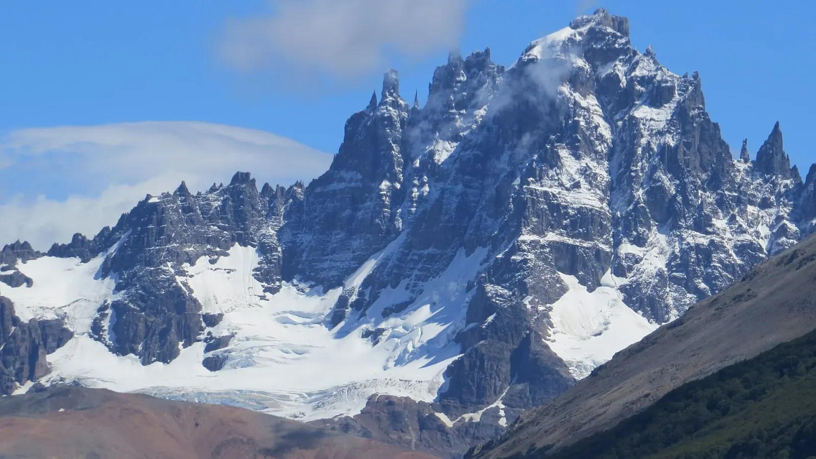
Anyone leaving Coyhaique southbound on the Carretera Austral tends to have the same first destination: Villa Cerro Castillo, about 96 kilometers away, at the foot of the mountain that gives it its name. It’s a short day in distance and a long one in reasons to stop, and a good way to start the route without hurrying.
Before leaving the city
Coyhaique is the region’s commercial hub, and whatever you don’t sort out there only gets harder to sort out farther on.
- A full tank, even if the first leg is short: heading south, the distances between gas stations grow longer.
- Food and water for the day. There are towns along the route, but few, and their services depend on the season.
- Layers in the car. The weather in Aysén changes fast, in summer too.
- Road conditions. The Austral combines paved stretches, gravel stretches and ferry crossings, and its condition changes: check it before setting out.
There are two more precautions that Sernatur (Chile’s national tourism service) asks for, and they deserve to be taken seriously. The Austral is a cycling route, so take curves with room to spare. And because of hantavirus, the recommendation is to stay in established lodgings, not to enter unoccupied cabins, and to keep food tightly sealed.
The park
The highway enters Cerro Castillo National Park 64 kilometers from Coyhaique. It’s a new park with a long history: the area was protected in 1970 as a forest reserve and became a national park by a decree issued in 2017 and published in 2018, which recognizes 143,502 hectares. Along the way, that decree corrected an old mistake: the 1970 map had miscalculated the area.
Among the reasons for protecting it, the same decree highlights that one of the most important populations of huemul (South Andean deer), the deer on Chile’s national coat of arms, lives there. Seeing one is another matter: the huemul is elusive, and the only honest promise is the one CONAF asks for, which is to drive slowly inside the park because deer cross the road.
A school and a wall with hands
Three kilometers from the village, on the south bank of the Río Ibáñez, stands the Escuela Antigua de Cerro Castillo (Old School of Cerro Castillo). The neighbors themselves built it in 1955, before the village existed, and it has been a Historic Monument since 2008. It was restored and now operates as a museum.
About two hundred meters from the school is the Paredón de las Manos (Wall of Hands): a rock wall some 35 meters long with hands painted on it thousands of years ago. According to archaeologist Francisco Mena, they predate the Tehuelche, and what they meant is still unknown. That not knowing is part of the visit.
They are fragile, and the law protects them: in Chile, every archaeological site is a national monument simply by virtue of existing. Look without touching, without wetting the rock to make the colors stand out, and without flash.
On arrival
Some of the park’s best-known trails start from Villa Cerro Castillo. Before planning your hike, check the park’s page on the CONAF website to see whether the trail requires a certified guide: it’s a rule the park has applied and keeps under review.
One last tip, for your phone’s search bar: in Magallanes there’s another place called Cerro Castillo, next to Torres del Paine. When searching for the village, add “Aysén” too.
Last reviewed
See the full guide to Coyhaique