4 minCoyhaique
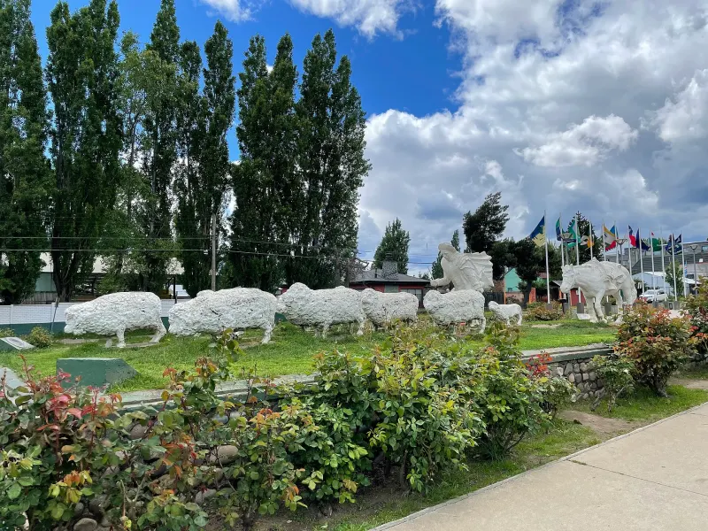
Coyhaique on foot, in six stops
A five-sided plaza, a shepherd pushing into the blizzard and a giant hand offering a mate. A half-day loop that tells how the capital of Aysén came to be.
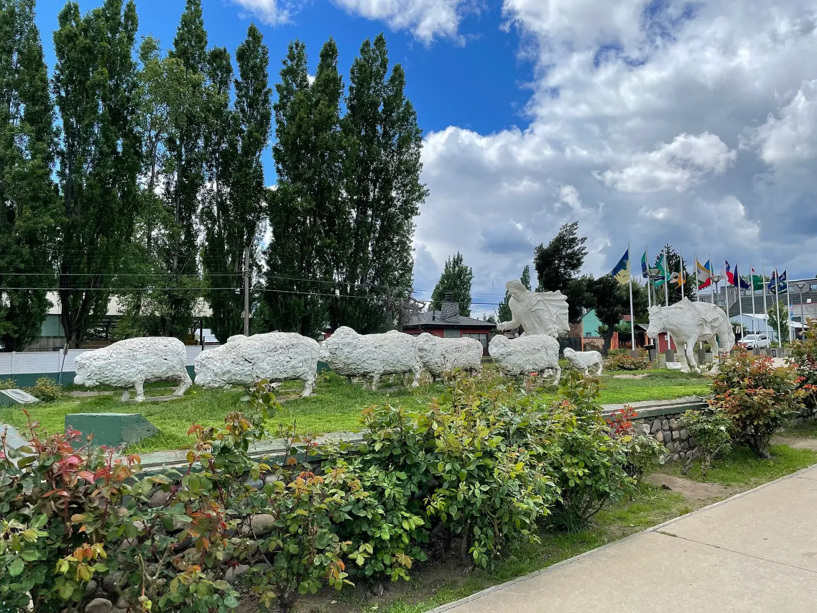
A five-sided plaza, a shepherd pushing into the blizzard and a giant hand offering a mate. A half-day loop that tells how the capital of Aysén came to be.
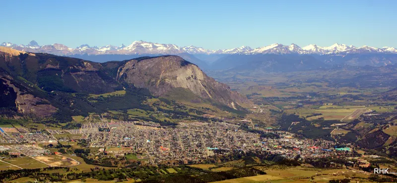
Coyhaique National Reserve lies five kilometers from the plaza and exists for a reason almost no one mentions: the fires of the settlement era left the slopes at the mercy of erosion. Four lagoons, trails named after trades, and the whole city in view.
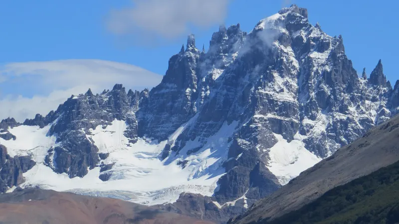
Some ninety-six kilometers between the city and a village at the foot of a fortress-shaped mountain. What to sort out before you leave, and two stops worth not skipping: a school its neighbors built and a wall with hands painted thousands of years ago.
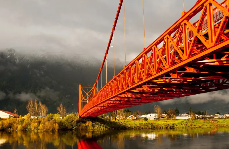
It was the region’s gateway and its first capital, until the river silted up and ships could no longer get in. The bridge, the old Land Office and the fifteen kilometers out to the fjord tell that story.
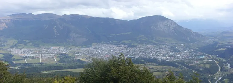
It’s called Route 7 and runs 1,240 kilometers, but half of it is gravel and it doesn’t connect anything in one continuous line. Understanding that before you rent the car heads off ninety percent of the scares.
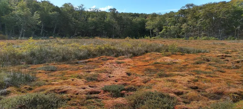
They look like soggy pastures, but they are wetlands that store carbon and regulate water. What the peatlands of Aysén and Magallanes are, why the law bans peat extraction, and how to enjoy them without harming them.