By Equipo VivePatagoniaEditorial team
Above Coyhaique, a few kilometers from downtown, rises a hill covered in forest. It looks like the most natural thing in the world, and it isn’t entirely: much of that forest was planted so the hill would stop falling apart.
Why it exists
During the settlement of Aysén, in the first half of the 20th century, gigantic fires—some burned for years—razed native forest across the region. Where the fire took the plant cover, rain and wind began to take the soil. In the Río Aysén basin alone, one study calculated that between 1900 and 1998 nearly a quarter of the native forest was lost, replaced mostly by grassland.
The reserve was created in 1948 precisely to protect slopes exposed to that erosion. For years it was also a forestry testing ground: mostly introduced species were planted—Douglas fir, lodgepole pine, Scots pine and ponderosa pine—to hold the soil. With the ground recovered, the native forest is now slowly coming back.
That’s the lens to bring when you walk it: this isn’t an untouched forest, it’s a forest in recovery, and you can tell from the changes in species along the trail.
What you’ll see
The reserve covers about 2,150 hectares, is managed by CONAF (Chile’s national forest service), and its highest point is Cerro El Cinchao, at 1,361 meters. The entrance is about five kilometers from the Plaza de Armas along the road to Puerto Aysén, with the last stretch on gravel.
- Four lagoons: Verde, Venus, Los Sapos and Los Mallines, the largest of them.
- The native forest: mostly lenga beech, with coigüe in the southwest sector and ñire beech at the highest elevations. Beneath them grow notro, chilco, calafate and michay.
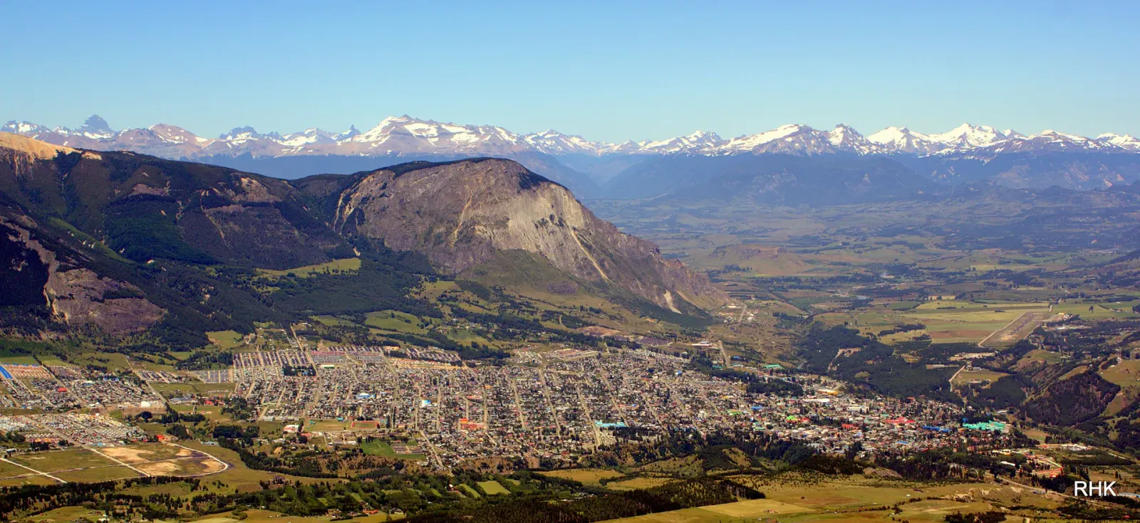
- The city in view: from the lookouts you can see all of Coyhaique, with Cerro Mackay opposite. One of them is reached by an accessible 250-meter trail.
Trails named after trades
The trails are called Los Leñeros, Los Carreros, Los Troperos, Los Carboneros and Los Tejueleros, and those names aren’t decoration: they are the trades that built Aysén. The woodcutter (leñero) and the charcoal maker (carbonero) took from the forest the heat for people’s homes; the carter (carrero) and the drover (tropero) moved freight and livestock; the shingle maker (tejuelero) split wood into the shingles that covered roofs and walls.
Walking them means covering, in a few hours, the work that changed the landscape you see from above.
Birds, no promises
The reserve has recorded condors, eagles, kestrels, kingfishers, thrushes, blackbirds, austral parakeets and Magellanic woodpeckers, as well as the chucao, far easier to hear than to see. Recorded doesn’t mean guaranteed: you see the ones that let themselves be seen, and what helps most is walking early and quietly.
There are also species that shouldn’t be there: the hare and the mink are invasive, and CONAF warns of wild boar on some trails. It’s worth reading the notices at the entrance.
The rules, and why
- No fire, in any form: no campfire, no grill, no camp stove, no cigarette. In a reserve that exists because of fires, the rule explains itself.
- No pets.
- Always stay on the trail. A shortcut opens a track that rain turns into a gully, right on the slopes that took so much effort to hold in place.
- Your trash leaves with you.
- The water in the reserve isn’t drinkable: bring your own.
- Drones only with authorization.
Before you go
Opening hours, seasonal closures of some trails and campground bookings change, and CONAF publishes them on the reserve’s page. It’s worth checking the day before and, as everywhere in Aysén, heading out with layers: on the hill the temperature drops fast and the wind arrives without warning.
Last reviewed
See the full guide to Coyhaique